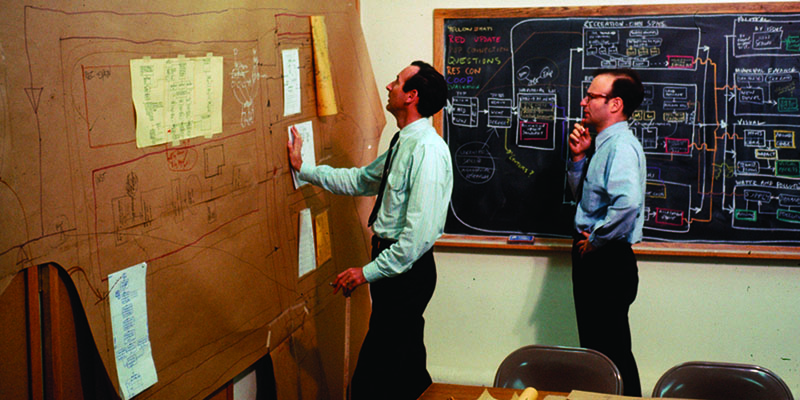
a personal historical perspective
Downloads
DOI:
https://doi.org/10.7480/rius.4.1366Published
Issue
Section
License
Copyright (c) 2016 Carl Steinitz

This work is licensed under a Creative Commons Attribution 4.0 International License.
How to Cite
Abstract
Geodesign is conceived as an iterative design method that uses stakeholder input, geospatial modeling, impact simulations, and real-time feedback to facilitate holistic designs and smart decisions. This paper aims to lay bare the beginnings of geodesign as such from 1965 onwards. It offers a personal historical perspective of Carl Steinitz, one of the protagonists in the field of geodesign. The paper describes some important milestones and influential people in a joint effort to bridge geo-information technology, spatial design and planning. It showcases the ongoing effort to employ the potential power of using GIS to link different model types and ways of designing to make better plans.